
Pamukkale.ioHierapolis & beyondExplore
Laodikeia Water System and Hierapolis Agreement
How Laodikeia’s Roman water network worked, why storage mattered, and what the reported Hierapolis agreement tells us about water rights.
Updated
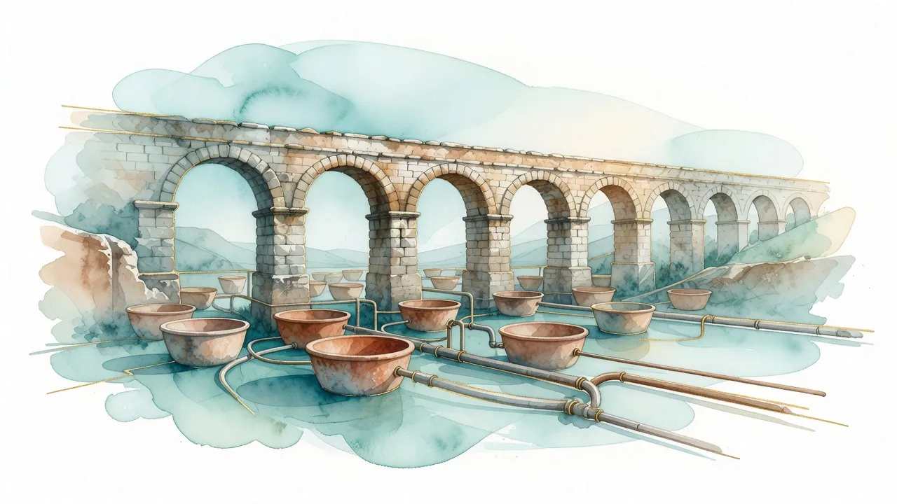
Laodikeia’s Roman water system brought water from sources outside the city, stored it in cisterns and distributed it through pipes and channels to baths, fountains, religious spaces and homes. The city’s position on a high terrace in the Lycos Valley made water supply a civic and political matter. A first-century AD inscription found at Hierapolis is reported to refer to Laodikeia’s water rights, but the agreement should be checked against the original text and current scholarly publications before its exact terms are treated as certain.
The main point is that Laodikeia did not depend on one isolated aqueduct. Its supply was a managed network linking external sources, conveyance routes, storage structures and urban users. That network also connected Laodikeia to neighbouring Hierapolis and to wider questions of access, maintenance and public investment.
The system behind Laodikeia’s water supply
Laodikeia was established in the Lycos Valley, but the city itself did not sit beside a major permanent river or lake. Its elevated position also made local supply difficult. Water could not simply be collected on the valley floor and assumed to reach the upper urban areas. Sources to the north, around Hierapolis, and in the Denizli plain were more useful, but they were not immediately at hand.
This distance explains the variety of remains associated with the system. Excavations have identified Roman-period terracotta pipes and cisterns, while surveys have recorded underground channels and sections of water-conveyance routes. Together, these elements suggest several stages: bringing water toward the city, storing it in reservoirs and distributing it to public and private users.
The exact route of every line is not settled. Research notes refer to two possible main approaches, including a northern line associated with Hierapolis and a southern line from the Denizli plain, but proposed lengths and sources require confirmation. Claims connecting the supply to distant sources such as Salda Lake should not be accepted without a current archaeological or geographical study.
Cisterns created a reserve when a channel was damaged or when flow changed. They also allowed the city to regulate distribution instead of relying on uninterrupted flow at every point. This is why storage structures matter as much as visible channels. The system was a connected network, not simply a pipe leading from a spring to a fountain.
Water was tied to Laodikeia’s public life. Bath buildings and gymnasium facilities required a dependable supply, while fountains provided water in visible civic settings. Religious spaces could also require water for washing and ritual practice. The Great Bath, gymnasium and monumental fountain structures therefore show how water supported the city’s social routines, even where the original supply line is no longer complete.
The proposed use of siphon systems in higher areas should be treated as an interpretation rather than a confirmed feature of every Laodikeia line. Similar hydraulic principles are known elsewhere in the Roman world, including at Aspendos, but comparison does not prove that the same arrangement was used here. The practical point is that the city had to manage differences in elevation and distance with more than one method of moving and storing water.
Water rights between Laodikeia and Hierapolis
Laodikeia and Hierapolis were close neighbours with separate civic identities and competing interests in the Lycos Valley. Hierapolis was associated with its thermal waters and religious importance, while Laodikeia developed as a major urban and commercial centre. Their relationship was therefore not simply friendly or hostile. Shared resources could require cooperation even when the cities competed for influence.
A Hierapolis inscription dated to the first century AD is reported to refer to Laodikeia’s right to water. If confirmed, this would place water access within a formal civic and legal framework rather than presenting it as an informal arrangement. The inscription needs to be checked against its original wording, publication history and relevant epigraphic catalogues. The research notes associate the subject with Hierapolis inscriptions from the first and second centuries AD and with regional material in the Supplementum Epigraphicum Graecum, but they do not provide a verified translation of the agreement.
The broader situation is understandable in the context of ancient cities. A water line crossing or drawing from another city’s territory created questions about access, maintenance and allocation. An agreement could define who was allowed to take water, how infrastructure was managed and which users received priority. It could also reduce the risk that a dispute over a spring or channel would become a wider political conflict.
The phrase “water agreement” needs some care. It should not automatically be imagined as a modern treaty with a complete set of published clauses. The evidence may refer to a right, a concession or a civic decision whose wider administrative context is only partly known. Claims about joint commissions, exact fees or later disputes should not be stated as facts without a verified text.
Some accounts describe public water as free for buildings such as baths and fountains, while private connections could involve charges, particularly when repair costs had to be covered. That model is compatible with the way ancient cities often managed public infrastructure, but the precise rules for Laodikeia remain uncertain. The same caution applies to claims about water prices and special arrangements after earthquakes.
The earthquake of AD 60 is important in this context. Laodikeia was rebuilt after the disaster, and water infrastructure would have required attention alongside streets and public buildings. Research notes associate reconstruction of the water network with public investment and local benefaction, but the exact financial roles of Roman officials and private donors require confirmation from excavation and inscription reports.
The wider historical setting of the neighbouring city is covered in the Hierapolis ancient city guide.
Reading the network in the ancient city
The water system is not preserved as one complete monument. Its remains are scattered among streets, public buildings and underground structures, so visitors see fragments of a network rather than a single continuous aqueduct. Terracotta pipes and stone channels show how water moved through the city, while cisterns show how it was stored before distribution.
The area around the main streets, including the route identified with Syria Street, is relevant because water infrastructure served public spaces along the urban grid. Cisterns near important civic buildings help explain the relationship between supply and daily life. The Great Bath, gymnasium facilities and monumental fountain structures indicate the kinds of buildings that depended on managed water.
Storage was essential for public buildings with changing demand. A bath complex needed more water at some times than others, and fountains had to remain supplied even when incoming flow varied. Cisterns near major civic structures may therefore have acted as buffers within the wider network. Their location can help archaeologists understand allocation across the city, although not every surviving tank can be connected to one specific source.
The system also reflects the relationship between infrastructure and social life. Bathing was part of the public urban environment, where water supported exercise, hygiene and social interaction. Fountains made the supply visible in streets and civic spaces. In religious settings, water could also be used for ritual cleaning, including practices associated with the cult of Apollo Lairbenos.
Research notes describe calcareous water and mineral deposits in channels, with a comparison to the geology associated with travertine formation. This may help explain deposits found in some remains, but it does not prove that every Laodikeia channel carried water with exactly the same chemical composition. It is a regional clue, not a complete analysis of the ancient supply.
Modern excavation has added detail gradually. Research notes refer to work by Pamukkale University between 2010 and 2020, including discoveries of water channels near the southern fortifications. They also mention later mapping and reports connected with the Denizli Museum Directorate, but some of these claims are marked for verification. Excavation access and visible remains can change during active fieldwork, so information about the 2026 season is best checked through current official site or museum notices before visiting.
A visit is easier to follow when the remains are read as parts of a sequence: a distant source, a conveyance route, storage within the city and distribution to civic buildings. The surviving masonry and pipe fragments cannot answer every question, but they make the scale of the water problem visible. Laodikeia depended on infrastructure that connected it to the wider valley and, possibly, to negotiated rights involving Hierapolis.
To compare water use with the neighbouring site, the Hierapolis Theatre guide provides a useful stop within the same regional context.
What the evidence allows us to say
Several points are well supported by the visible and reported remains: Laodikeia required water from outside the immediate urban area; Roman-period pipes, channels and cisterns formed part of its supply network; and public buildings such as baths, gymnasia and fountains depended on managed water. The city’s location made storage and distribution necessary rather than optional.
Other points remain less secure. The exact source of each line, the length of the proposed northern route, the southern connection from the Denizli plain, the details of the Hierapolis agreement and fees for private water use all need confirmation from current publications or original evidence. Reports about LiDAR mapping, specific 2022 findings and new lines identified during later excavations also need checking against official archaeological reports.
Laodikeia’s water history shows how a Roman city combined infrastructure with negotiation. Water arrived through a network shaped by terrain, civic demand and relationships with neighbouring communities. The possible agreement with Hierapolis gives that network a political dimension, but the surviving evidence should be separated from later interpretation.
Current excavation and museum information remains the best final reference for access and newly reported finds before a visit to Laodikeia.
Where these places are
Distances from the travertine entrance. Tap a marker to open its guide.
All places on this map
- The Antique Pool (Cleopatra's Pool)
- The travertine terraces of Pamukkale
- Hierapolis Ancient City (Guide coming soon) · 0.7 km from the terraces
- Karahayıt: the red thermal springs · 5.1 km from the terraces
- Laodikeia: the ruined city across the valley · 9.9 km from the terraces
- Denizli: the working city next to Pamukkale · 15.9 km from the terraces
- Tripolis: a Roman city on the Meander with almost no one in it (Guide coming soon) · 19.8 km from the terraces
- Kaklık Cave: Pamukkale underground · 24.2 km from the terraces
- The Çal vineyard route: high-altitude wine an hour from Pamukkale (Guide coming soon) · 29.6 km from the terraces
Guided tours and day trips in Pamukkale
Skip the planning. Pick a theme below to compare guided tours, balloon rides and day-trip packages, many with instant confirmation and free cancellation.
- Pamukkale + Hierapolis day tour
- Hot air balloon ride
- Sunset tour
- Day trip from İzmir
- Day trip from Antalya
- Cleopatra antique pool
Coming out this way?How to get there →